Thinking about making South San Francisco your home base? You want weekend green space, easy dining, and a smooth commute that fits your life. This guide gives you a clear snapshot of parks and trails, where locals gather to eat, and how to get around without hassle. You will also find practical tips and links so you can test the day-to-day rhythm yourself. Let’s dive in.
Parks and bayfront time
South San Francisco packs a lot of outdoor variety into a small footprint. From bayfront walks to hilltop views, most spots are a short drive from residential neighborhoods. If you like mixing quick weekday strolls with longer weekend hikes, you will find plenty of options.
Oyster Point and Bay Trail
Start with Oyster Point Marina & Park for a flat, breezy waterfront walk, picnic tables, and marina views. It is an easy go-to for families and anyone who prefers level paths. You can connect from the promenade to segments of the regional Bay Trail for longer rides or runs; use the official Bay Trail map to plan your route and explore nearby shoreline segments.
Want a simple, scenic routine? Try a 30–45 minute loop along the promenade, then grab a casual bite near the marina. If you are biking, bring a lock for quick stops and watch for windier afternoons along the shoreline.
Sign Hill and Orange Memorial
For a quick hike with a payoff view, Sign Hill Park offers short trails and a sweeping look at the city and bay. It is a compact climb and a good weekday or after-school option. For everyday play and sports, Orange Memorial Park is the city’s classic neighborhood green with fields, playgrounds, and community facilities.
Park amenities vary by location. To check for restrooms, play areas, and parking before you go, use the City of South San Francisco website for Parks & Recreation listings and the latest community events.
San Bruno Mountain and Sweeney Ridge
When you want a bigger hike and skyline views, head to San Bruno Mountain, just north of city limits. Trails range from moderate loops to longer ridge routes, with seasonal wildflowers and wide Bay vistas. For maps, trailheads, and alerts, visit San Mateo County Parks.
You can also reach Sweeney Ridge from nearby access points for ridge-line hiking and a historic vista marker. Pack layers for both areas; wind and fog can roll in quickly.
Dining and daily errands
South San Francisco’s food scene is practical and local. You will find small, independent restaurants, bakeries, and cafes in walkable pockets, plus quick-service options along the main corridors. Many residents head to neighboring cities for broader dining or nightlife.
Grand Avenue downtown
Grand Avenue is the traditional downtown corridor. It is walkable for errands, coffee, lunch, and everyday services. Stroll a few blocks and you will pass casual eateries, bakeries, and local shops that cover most weekday needs.
If you like to do weekly errands on foot, living near Grand Avenue increases convenience. Expect more street activity here during the day, with a mellow evening vibe.
El Camino and Mission Road
The El Camino Real and Mission Road corridors carry a mix of grocery stores, chain restaurants, and service retail. These stretches are designed for quick access by car, with plenty of everyday options for weeknight dinners.
If you are comparing neighborhoods, this is the zone for fast pickups and straightforward parking.
Oyster Point waterfront dining
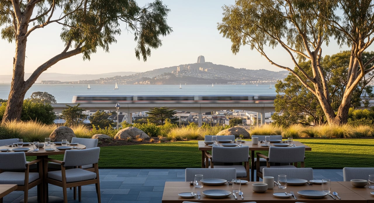
The marina area near Oyster Point includes hotel and restaurant options that lean toward waterfront views and relaxed meals. It is a nice change of pace after a shoreline walk or a casual meet-up.
Nearby dining hubs
For bigger dining scenes or date-night choices, many residents drive or rideshare to Burlingame, Millbrae, San Bruno, Daly City, or into San Francisco. The short trip opens up more cuisines and late-night options while keeping your home life grounded in a quieter, neighborhood setting.
Transit and commute planning
Commuters here use a mix of rail, bus, shuttle, and highway routes depending on destination. Plan on experimenting with two or three options to see what fits your work schedule best.
Caltrain to SF and Silicon Valley
The South San Francisco Caltrain station connects you along the Peninsula corridor between San Francisco and San Jose. Service types vary by train, so check current Caltrain schedules and look at local, limited, or express options. If you ride regularly, explore passes and off-peak fares.
SamTrans buses and shuttles
SamTrans operates local and regional buses through the city. Use SamTrans route maps and timetables to connect to rail or reach neighboring towns. Many large employers also run private shuttles to BART and other hubs, so ask your employer about options and transit benefits.
Driving on 101 and 280
US‑101 runs through the city for direct access to San Francisco or south to the Peninsula and Silicon Valley. I‑280 is a useful alternate route with additional Peninsula access. Expect congestion during peak hours and leave a buffer on busy days. For current conditions, check 511 Bay Area before you head out.
BART connections nearby
There is no BART station within city limits. The closest access points are in Millbrae and Daly City, both commonly used for multimodal commutes. See BART trip planning to compare connection times and parking options.
Airport access via SFO
San Francisco International Airport is just south of the city. You can drive, rideshare, or connect via Caltrain and BART at Millbrae. For ground transportation and terminal info, use the official SFO site.
Bikes and last mile
The shoreline and downtown segments are the most bikeable and walkable areas in the city. Many neighborhoods rely more on cars, especially those closer to hillier terrain near San Bruno Mountain. Look for secure bike parking near stations, and consider rideshare for last-mile connections when schedules run tight.
Weekend mini-itineraries
Use these easy plans to get a feel for local life.
Morning waterfront + brunch
- Start with a sunrise or mid-morning walk along the Oyster Point promenade.
- Follow with a relaxed brunch nearby or head to a cafe along Grand Avenue.
- Bring layers; it can be breezy by the water.
Hike + local eats
- Hike San Bruno Mountain or Sweeney Ridge for broad Bay views.
- Return to Grand Avenue for a casual lunch and coffee.
- Check San Mateo County Parks for any trail notices before you go.
Family outing
- Playtime at Orange Memorial Park, then a picnic at Oyster Point.
- Cap the day with a community event or market. See the City of South San Francisco website for the latest listings.
Smart buyer takeaways
If you are evaluating neighborhood fit, a few simple steps help you decide.
- Try a test commute. Run your preferred route during your actual work hours using Caltrain, SamTrans, or a highway drive with 511 Bay Area for live conditions.
- Explore walkability. Spend an afternoon on Grand Avenue and along the waterfront to see if the day-to-day routine matches your pace.
- Weigh parking and proximity. Homes near the Caltrain station or downtown trade stronger walkability for tighter parking and potentially higher prices.
- Use Clipper for transit. One card or mobile wallet works across major Bay Area systems, making transfers easier.
- Ask about employer shuttles. Many local employers offer shuttles or transit benefits that change the math on your commute.
When you are ready to compare homes by access to parks, transit, and daily conveniences, we can help you balance the trade-offs and make a confident choice.
Ready to explore homes near Grand Avenue, Oyster Point, or convenient commute routes? Reach out to The Sidhu Team for a friendly consult and local guidance tailored to your move.
FAQs
Is South San Francisco walkable for daily errands?
- Parts are walkable, especially Grand Avenue and the Oyster Point waterfront. Many residential areas are more car- or bike-oriented, so test routes you plan to use most.
How long does Caltrain take to downtown San Francisco?
- Travel times vary by train type and schedule. Check current options on the official Caltrain site and compare local, limited, and express services.
What are the best areas for easy park access?
- Look near anchors like Orange Memorial Park, Sign Hill, and the Oyster Point waterfront for quick green space access. Visit the City of South San Francisco website for park amenities and maps.
How is driving and parking near transit?
- US‑101 offers direct access but can be congested at peak times. Parking policies vary by station and neighborhood; confirm details on agency pages and check 511 Bay Area on commute days.
Are there good school options in South San Francisco?
- School quality varies. Use resources like GreatSchools and the California Department of Education at cde.ca.gov to review ratings, programs, and enrollment boundaries.
Where can I find public safety information?
- Review city and county reports for neighborhood-level data. Start with the City’s police resources on the City of South San Francisco website and county dashboards where available.